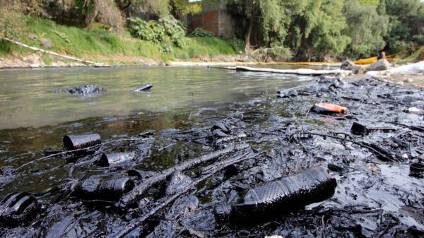
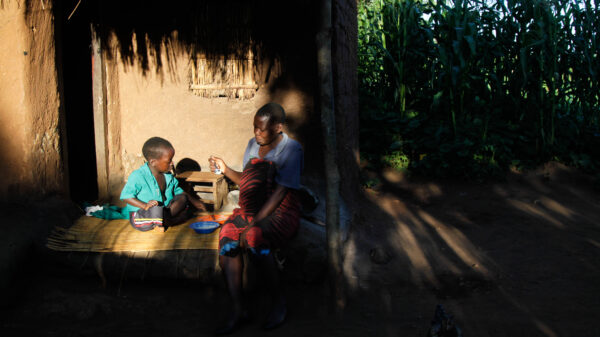
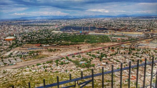
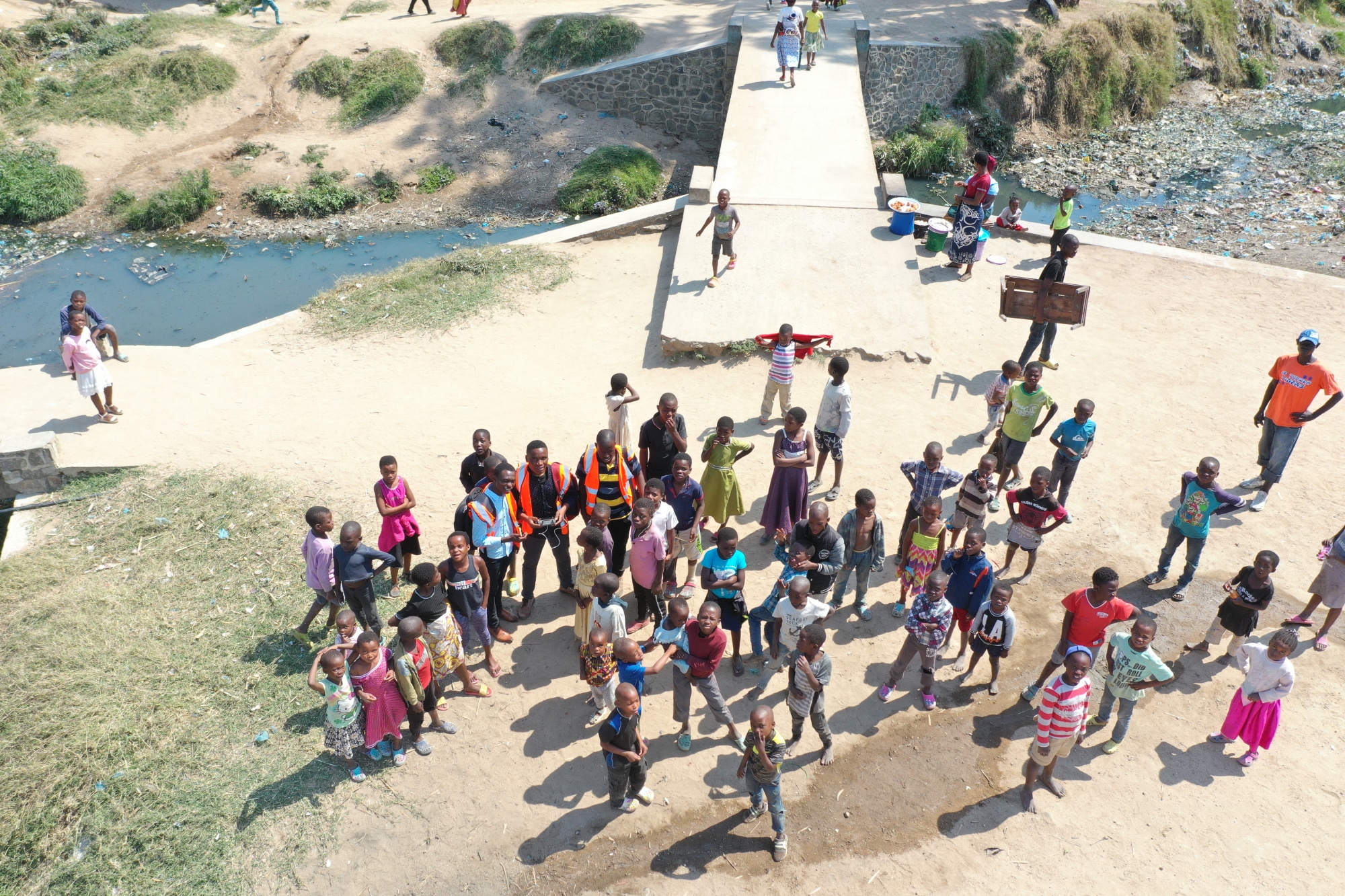
On January 3, 2022, the Nasolo River overflowed and flooded the municipality of Ndirande, in the city of Blantyre (Malawi). According to the Department of Disaster Management Affairs, two houses were completely razed and four others were severely damaged. In total, dozens of families were displaced and had to receive emergency assistance. However, the aid was not enough to meet all their basic needs.
Calamities of the type are common in this area of East Africa, inhabited by almost a million people. Within the framework of 2021 Local Innovators Competition, a team from Blantyre presented a project to better identify risks and overcome difficulties. Using drones and other geographic tools, their goal is to stop the massive destruction of homes and the spread of diseases due to frequent flooding.
In this note You can learn how the initiative was created, which merges technology, university knowledge and participation of local communities.
A year full of learning
After starting field work in April 2022, the team recently concluded its pilot phase. In fact, this means that they completed the preparation of maps and their corresponding analyzes to better understand this phenomenon that so hinders the development of Ndirande.
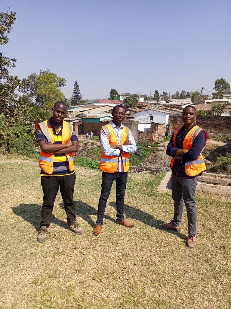
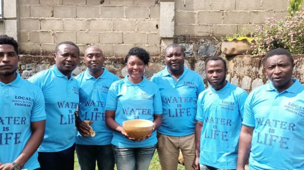
“The solution unites technological resources with social aspects to provide appropriate responses to the reality of the inhabitants, interpreting their sociopolitical context and using local resources to generate effective actions,” maintains the project led by Noel Band, Hestings Hatton, Hassan Allison, Mervis Nyirenda, MCLean Kumwenda and Yusuf Chizonga.
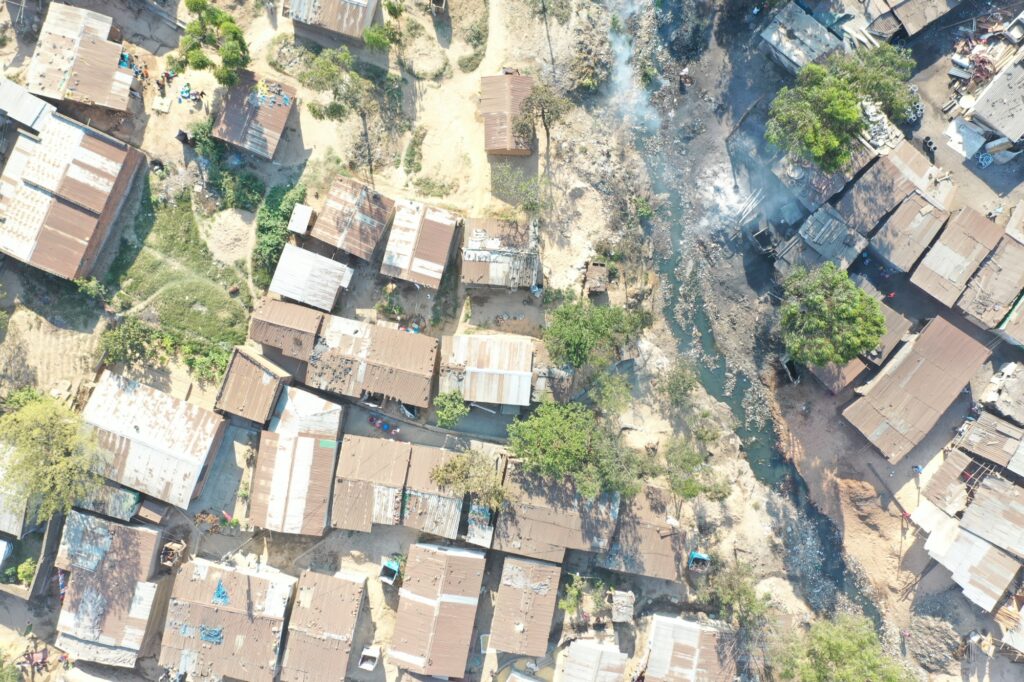
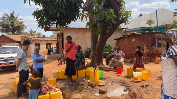
During the process, they turned to historical archives, official documents, aerial photographs and satellite images to obtain large-scale information. Then, thanks to the incorporation of drones, they were able to get closer and closer to local detail and worked closely with the community. Thus, the affected families recounted daily experiences that helped give a different meaning to the geographical information.
Actions and training in Ndirande
With all the variables on the table, the team was able to make the necessary correlations to know whether or not they had an impact on the flooding phenomena. Finally, identifying the risk vulnerability in each area, they developed recommendations to be adopted and implemented collaboratively between residents and the local government.
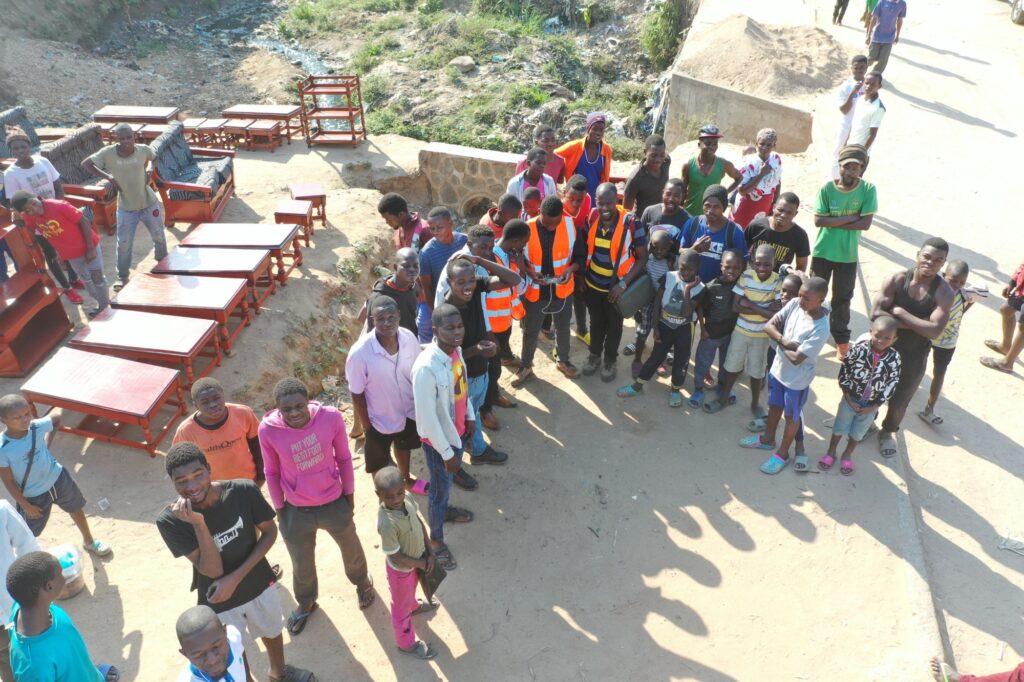
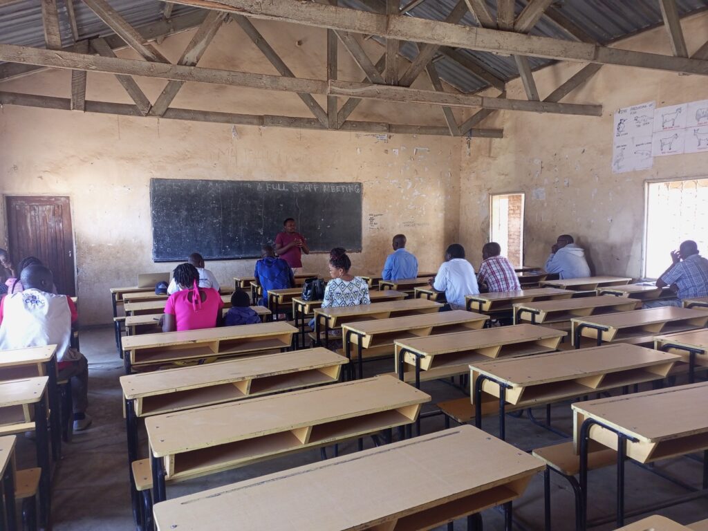
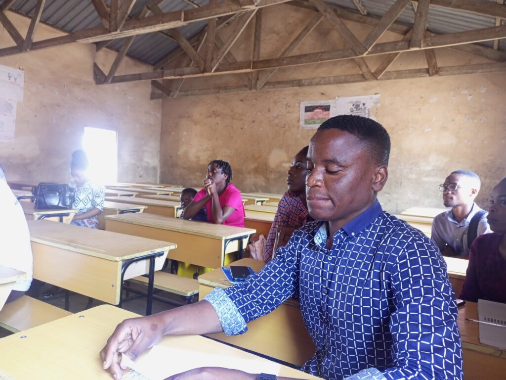
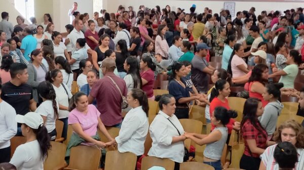
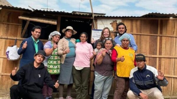
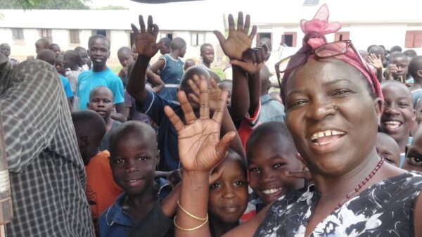
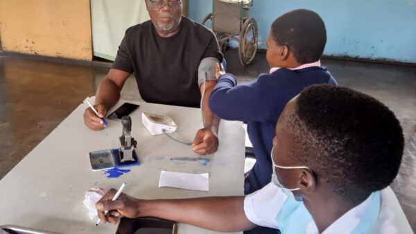
While all this was happening, activities were also carried out with the community that helped them get involved in reducing vulnerability and mitigating risks. To this end, six members of the design team were trained, who act as representatives of society to articulate relationships with the technical parties.
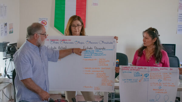
After passing through the Local Innovators Programme, the Blantyre team gained a new perspective on their problem. If at first it was thought that drones and geographic tools would be the protagonists, it was later realized that the human component was essential to design a solution.
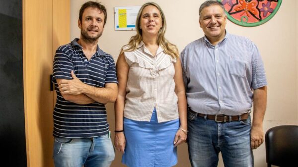
“The case is innovative because it incorporates technologies, analysis methodologies and work dynamics that were not in place before,” concluded the RIL team that accompanied the process in Malawi.
Image gallery:
